Mentor: Nathan Vadeboncoeur
Summary
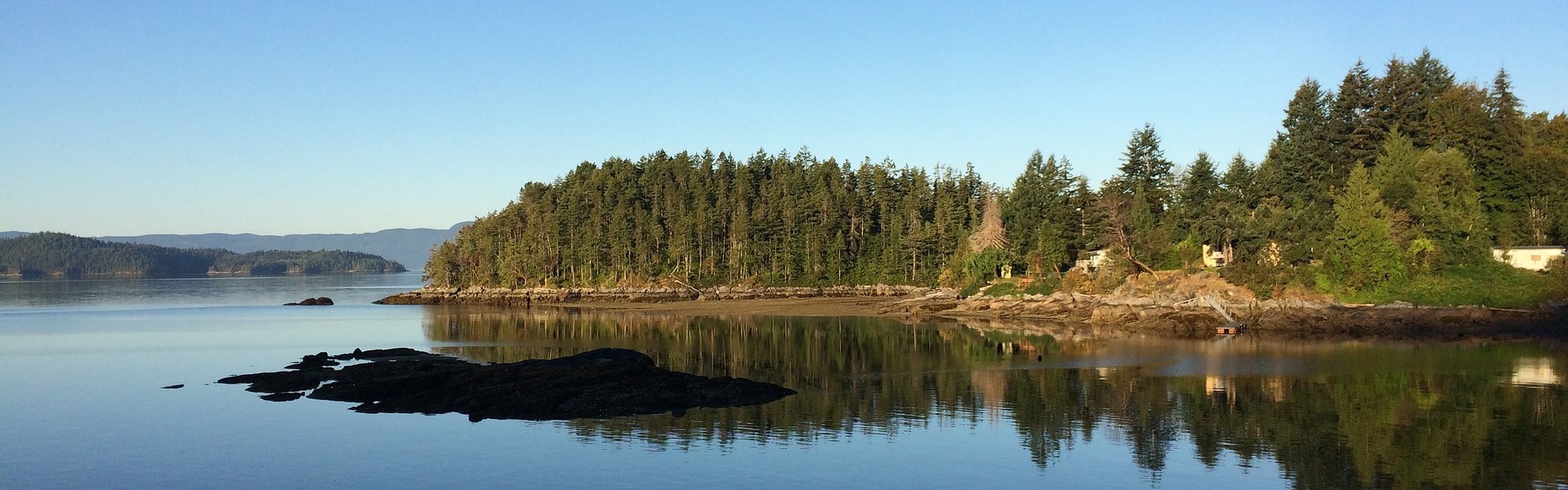
Canada should be the world leader in coastline management. We have, by far, the longest coastline of any country and more lakes than the rest of the world combined. Communities from coast-to-coast-to-coast have been managing flood risks and supporting important ecosystems for generations, but much of this knowledge isn’t shared. This is because data often come with restrictions that limit sharing, and are in a format that requires expensive and specialized software to access. We’re trying to change that through an initiative called Smart Shores that provides high-resolution data and shares it with communities across BC in a range of formats so that it can be directly integrated into GIS applications and shared with the public in an interactive online format.
We are using UAVs (drones) and a powerful RTK GPS unit to create ultra-high resolution maps of shorelines in BC. This allows us to map shorelines on-demand in fine detail, at low cost and on-demand. This means that we can track erosion, sediment transport and storm impacts, and quickly communicate the implications of this online for communities and ecosystems. Local governments can use this technology to assess coastal development and flood mitigation plans, communicate technical requirements to engineers and planners, and engage the public in planning for the future of their communities. Environmental not-for-profits can use it to show the results of their conservation efforts, and educators can have a powerful tool for teaching about coastal environments.
We have developed a robust workflow for data collection, processing, and the creation of interactive real-world environments in virtual space. However, the interpretation of our data still requires manual processing to generate most of the value-added analysis that makes Smart Shores data useful to people. This increases the cost of our products and makes it more difficult for small communities and not-for-profits to take full advantage of this technology. This is where we need your help.
One important feature of the ultra-high resolution data produced by Smart Shores is that it allows habitat and shoreline changes to be mapped at a scale that is useful for villages, towns and small but important coastal ecosystems. Identifying these changes requires that we can identify micro-habitats and substrate types so that we can measure how small stretches of coast change over time. The software we use for mapping can classify different types of landscape points, such as trees, buildings, rail lines and low vegetation. However, it cannot differentiate between sand, gravel, small rocks and large flat rocky surfaces. These materials make up a large portion of coastal areas and are important for evaluating erosion, wave run-up and habitat change.
Coastal landscapes are constantly changing with sand moving daily, gravel moving after small-to-moderate storms and small rocks moving after larger storms. The result is that shorelines are changing every week, month and year. Our goal is to accurately measure these changes and create robust predictions for what our shorelines will look like as climate change continues to shape our coasts – and what the implications of this are for flooding and conservation. We are looking for an algorithm that will be able to classify sand, gravel, small rocks and large rocky surfaces from a point cloud. By developing a solution that will help us automate the classification of different substrates along our shores we will be able to provide powerful analytics at a low cost to small communities in rural areas and the local not-for-profits that help protect our environment.
We look forward to the opportunity to work with you on this project.